Where to see the Golden Gate Bridge
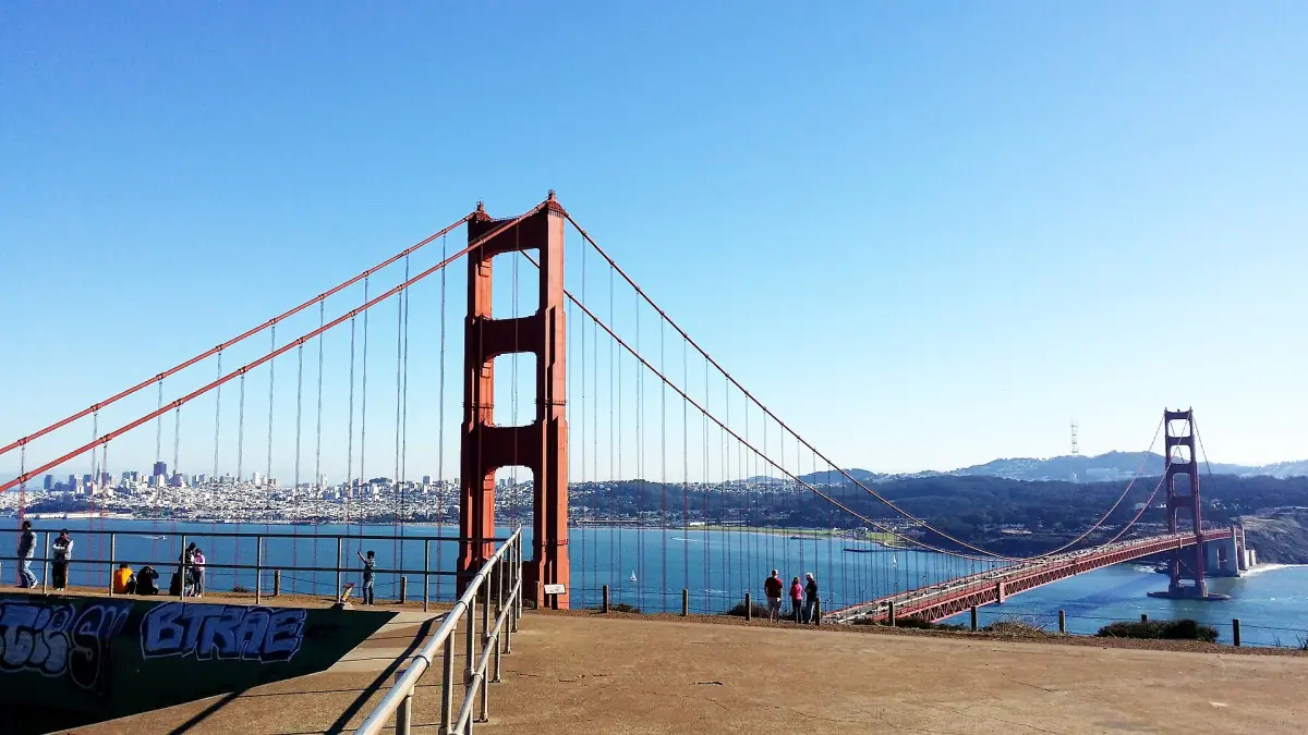
There are good views on both sides of the Golden Gate strait. On the Marin side, Battery Spencer and Hawk Hill look back at the bridge and the city from above. On the San Francisco side, Fort Point sits right under the south end of the bridge, Baker Beach looks at it from the west and Crissy Field shows it across the bay.
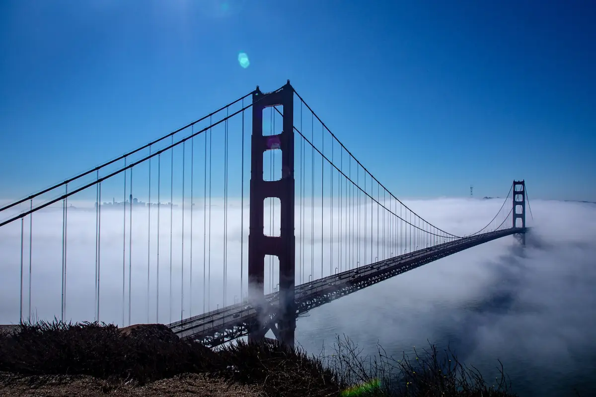
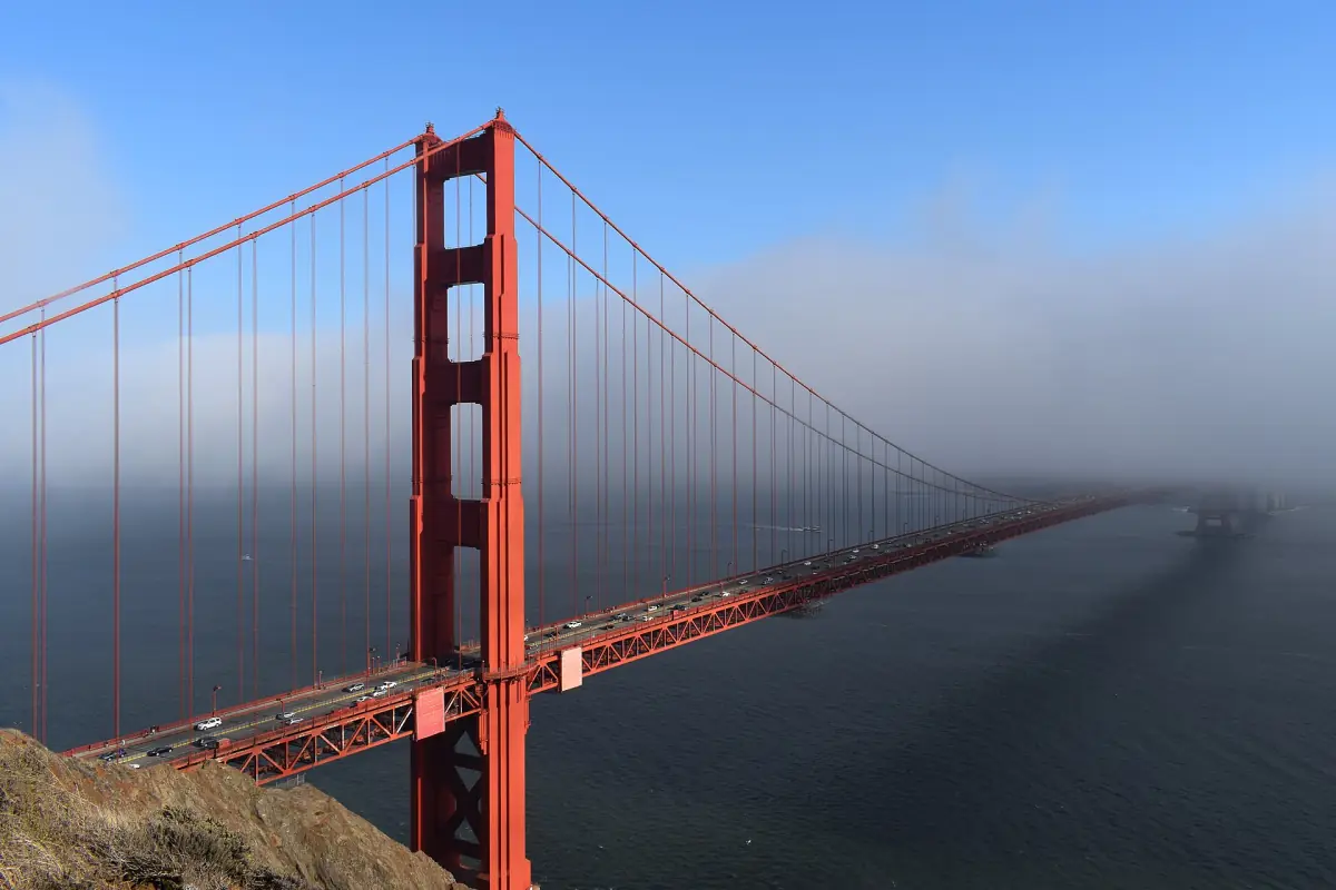
Which spot is best depends on the weather. Fog can hide the towers, especially in summer, and no viewpoint guarantees a clear view. Pick two places and keep your plan flexible. This is an independent guide, so confirm the current access rules on the day.
The viewpoints compared
Where each spot is and what to expect.
| Viewpoint | Side | View | Access and parking |
|---|---|---|---|
| Battery Spencer | Marin Headlands | The bridge and the city from above | Short walk from Conzelman Road. Limited parking, very busy on weekends. |
| Hawk Hill | Marin Headlands | High lookout over the strait | Short walk from Conzelman Road. Limited parking. |
| Fort Point | San Francisco, under the bridge | The underside of the south end | Free. End of Marine Drive. |
| Baker Beach | San Francisco, west of the bridge | The bridge from the beach | Parking, toilets and picnic areas. |
| Crissy Field | San Francisco, bay shore | The bridge across the bay | Flat promenade for walking and biking. |
| Lands End | Northwest San Francisco | Cliffs, sea and the Golden Gate | Coastal trails; stay on the path. |
Golden Gate Bridge tours and viewpoints with a guide
Walking, bike and bus tours and bay cruises that cover the best views, with live prices and availability.
Battery Spencer and Hawk Hill
The classic view from the north side.
Both spots are in the Marin Headlands along Conzelman Road, with short walking paths from the road. They sit on former military sites and in protected habitat, and the Park Service names the endangered Mission blue butterfly as one of the animals that lives there. Stay on the paths.
Do not try to drive straight up Conzelman Road from US 101. The route runs through the Baker-Barry Tunnel and then right on McCullough Road to the roundabout, and large parts of the road are one-way. Fog is most common in summer.
At Battery Spencer there are accessible parking spaces and a nearby viewpoint, while the path further back is much steeper. At Hawk Hill there are accessible spaces and paths in the viewing area. Not every path is wheelchair-friendly, so check the details before you go.
How to park in the Headlands →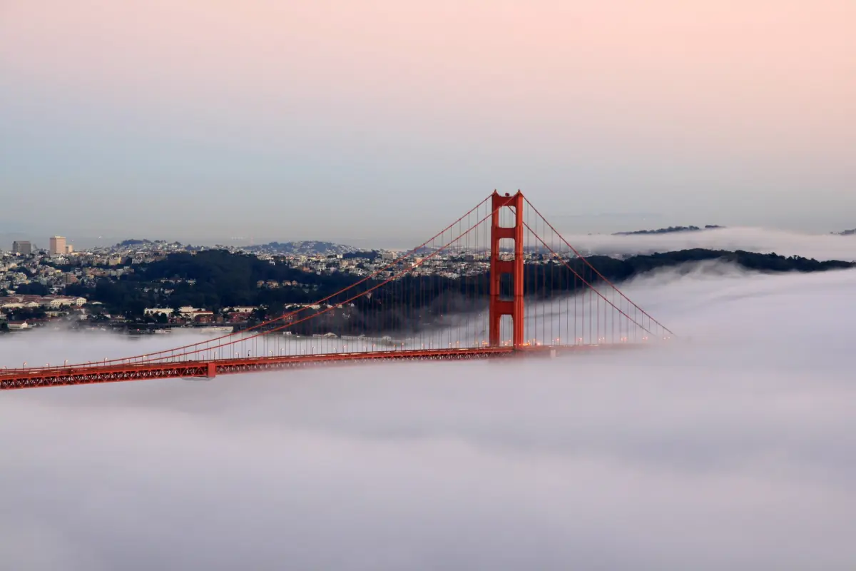
Fort Point
The bridge from underneath.
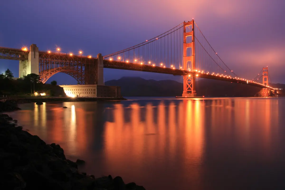
Fort Point is a brick fort at the south anchor of the bridge, at the end of Marine Drive. Entry is free, and you do not need a park pass. The steel arch of the bridge runs directly overhead, which makes this a very different view from the Headlands.
The fort is open from 10 a.m. to 5 p.m. on its open days, and the roof access closes at 4:30 p.m. It is closed on Tuesday and Wednesday and on Thanksgiving, Christmas and New Year's Day. The days it opens can be fewer in fall and winter, so confirm the current schedule just before you go. The grounds outside are reachable every day.
Pets are not allowed inside the fort, but assistance animals are.
Baker Beach
A wide beach west of the bridge.
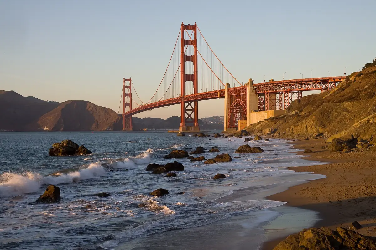
Baker Beach lies on the ocean side of the bridge, with parking, toilets and places for a picnic.
Treat the water with care. There are strong currents, cold water and breaking waves, and it is not a safe swimming beach. Walk, sit and take photos, but stay out of the surf.
Crissy Field
The easy, flat option.
Crissy Field is a flat promenade on the bay shore with a compacted surface for walking and biking. You see the bay and the bridge across the water. There are beaches and picnic areas along the way.
Swimming is not allowed in Crissy Marsh south of the inlet bridge. Keep to the marked beach areas and do not treat the marsh as a bathing spot.
Walking across the bridge →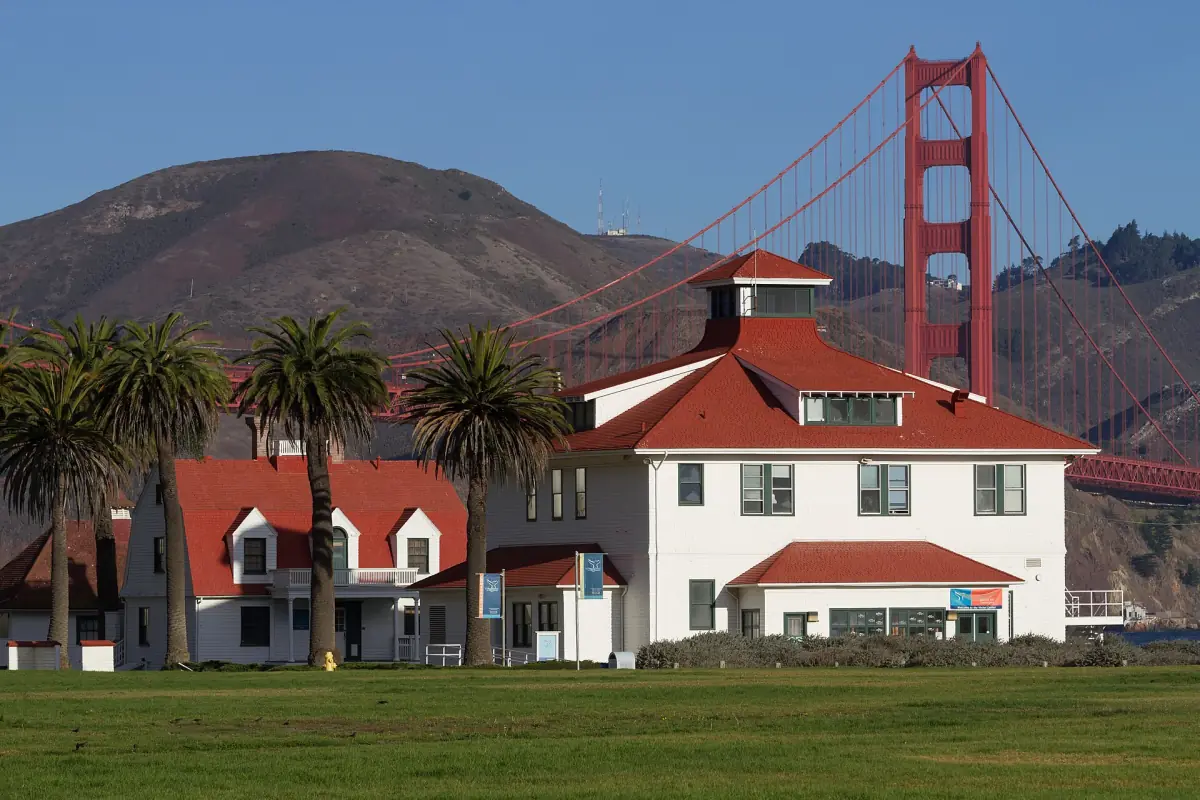
Lands End and safety on the cliffs
Coastal trails with views of the Golden Gate.
Lands End is in the northwest corner of San Francisco. Its coastal trails look over cliffs and the sea toward the Golden Gate. Stay on the marked paths and keep back from the cliff edge. An accessible path starts at Merrie Way, but that does not mean the whole coastal trail is accessible.
Keep a distance from wildlife everywhere. The Park Service suggests about 15 m (50 ft) from small animals and about 30 m (100 ft) from larger ones such as coyotes and deer, and more if the animal reacts. Do not feed animals.
Golden Gate Bridge viewpoints: frequently asked questions
What is the best viewpoint for the Golden Gate Bridge?
Battery Spencer in the Marin Headlands is the classic choice for a view of the bridge and the city. Fort Point is better if you want to stand under the bridge, and Crissy Field is the easiest walk.
Is Fort Point free?
Yes. Entry is free and no pass is needed. The fort is closed on Tuesday and Wednesday, so confirm the days before you go.
Can I swim at Baker Beach?
It is not a safe swimming beach. The currents are strong, the water is cold and the waves break hard. Enjoy it from the sand.
Will I see the whole bridge if I go to Battery Spencer?
Only if the fog allows. Fog is most common in summer and can hide the towers at any viewpoint, so pick a second place as a fallback.
Can I drive to Battery Spencer from the highway?
Not directly. Use the Baker-Barry Tunnel and McCullough Road to reach the roundabout, then follow Conzelman Road and park only in the marked bays.